A corner of the Triangle
Williamsburg
Virginia's capital from 1699 to 1780: one long street from the Capitol to the college, the palace, and the people free and enslaved who lived there.
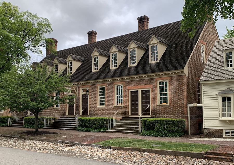
Duke of Gloucester Street, end to end
One straight street, about a mile long, runs from the Capitol to the college. Walk it slowly and you pass Virginia's colonial capital as it was rebuilt in the twentieth century, original buildings and all.
Under the Parkway's middle stretch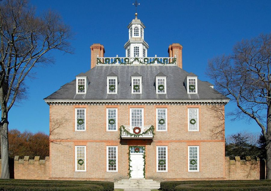
The Governor's Palace and its gardens
The house of Virginia's royal governors burned in 1781 and was rebuilt in the 1930s on its excavated foundations. It is a show of power, a working household and a careful piece of detective work.
Above the Parkway tunnel, WilliamsburgThe Capitol at the east end of town
At the eastern end of Duke of Gloucester Street stands the rebuilt seat of Virginia's colonial government, where the burgesses argued with the Crown and, in 1776, voted to call for independence.
East side of Williamsburg, near the ParkwayThe Wren Building and the college at the west end
At the western end of Duke of Gloucester Street a royal college has stood since the 1690s. Its oldest building has burned three times and its history includes Native students and enslaved workers.
West side of Williamsburg, off the ParkwayWho lived here: free and enslaved Williamsburg
Behind the brick fronts of Virginia's colonial capital, about half the people were Black, nearly all of them enslaved. Their lives, their church and their school are now part of what you can see.
Williamsburg, midway along the ParkwayPlates on this sheet, in order: ProfReader (CC BY-SA 4.0); Fletcher6 (CC BY-SA 3.0). Every plate is listed on the plates and their makers.