A corner of the Triangle
The James and Route 5
The Colonial Parkway between the towns, and west of them Route 5, the James River plantations, the ferry and the Capital Trail.
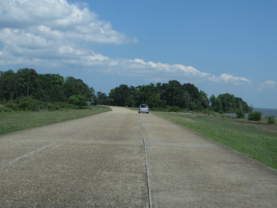
Driving the Colonial Parkway, Jamestown to Yorktown
Twenty-three miles of slow road join the three towns of the Triangle, running through woods and along two rivers, with no trucks, no signs for business and a surface made to look like gravel.
The Parkway itself, end to end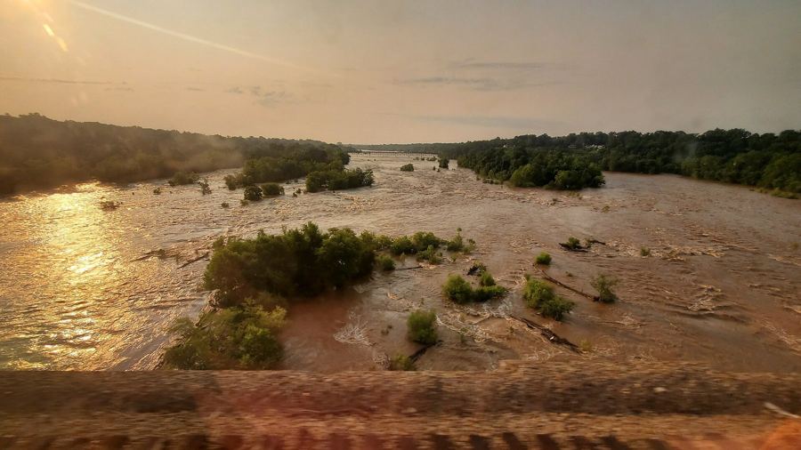
Route 5 and the James River plantations, told plainly
West of Williamsburg a two-lane road runs through Charles City County past the long lanes of old river plantations. The houses are famous; the people who built and worked them are the larger story.
Off Route 5, west of the ParkwayThe Jamestown-Scotland ferry across the James
A free state ferry carries Route 31 across the James from beside Jamestown to the farms of Surry County, and its open deck gives you the island the way the colonists first saw it.
Just past the Parkway's Jamestown endCycling the Virginia Capital Trail
A paved path of about fifty miles runs from Jamestown to Richmond beside Route 5, through woods, open farm country and the hills of Varina, kept apart from the traffic for nearly all its length.
Starts near the Parkway's Jamestown endPlates on this sheet, in order: Ken Lund from Reno, Nevada, USA (CC BY-SA 2.0); Jstuby (CC0). Every plate is listed on the plates and their makers.