The James and Route 5 · plate 13
Route 5 and the James River plantations, told plainly
West of Williamsburg a two-lane road runs through Charles City County past the long lanes of old river plantations. The houses are famous; the people who built and worked them are the larger story.
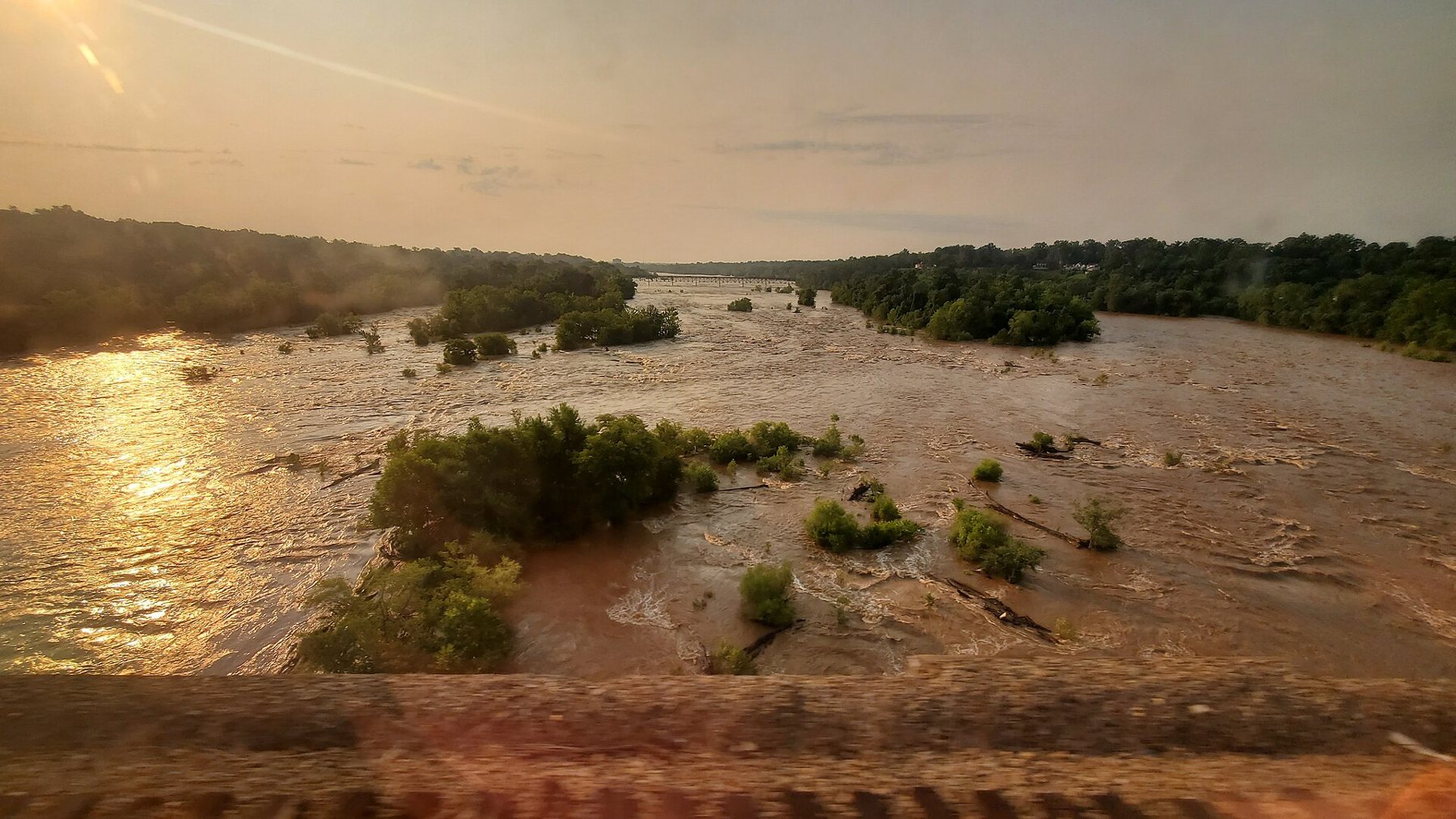
Route 5 leaves Williamsburg heading west and runs for about fifty miles to Richmond along the north side of the James River. For most of the way it crosses Charles City County, one of the original shires of 1634 and still one of the least populated counties in eastern Virginia. The road is two lanes, quiet and wooded, with farm fields opening out on either side. The river is rarely in sight. It lies a mile or so to the south, at the far end of the long lanes that lead to the old plantations.
Those plantations are the reason most people drive this road. Several of their great houses still stand, some still owned by descendants of the families who built them. They are worth seeing, as long as you remember that they were the working centres of large agricultural businesses, and that the work was done mostly by enslaved people.
The road has carried several names over the years. Today it is signed as the John Tyler Memorial Highway for much of its length, and the state has named it a scenic byway.
Whose country it was first
When the English arrived in 1607, this stretch of the river was home to Algonquian-speaking peoples. The Weyanock lived along the north bank here, the Paspahegh to the east toward Jamestown, and other communities across the river; most were part of the paramount chiefdom led by Wahunsenacah, whom the English called Powhatan. The Chickahominy, along the river that now bears their name at the eastern edge of the county, kept a greater independence, governing themselves through a council of elders rather than a single chief.
The English took this land by patent, in war and through treaties that pushed Native towns back from the river, especially after the wars of 1622 and 1644. The Chickahominy did not disappear. The Chickahominy Indian Tribe's community remains in Charles City County today, and the tribe gained federal recognition in 2018, along with several other Virginia tribes.
Hands that did the labour
The first English plantations here grew tobacco with the labour of indentured servants, mostly young English men bound to work for several years in return for their passage. Africans were present in Virginia from 1619, and through the later 1600s, as fewer servants came and laws hardened slavery into a lifelong, inherited condition, planters turned to enslaved Africans. By the eighteenth century enslaved people made up around half or more of Charles City County's population.
They did nearly everything. They cleared the forest, planted, tended and cut tobacco, and later grew wheat and corn as the soil wore out. They dug clay and fired the bricks for the great houses on site, laid them, sawed and shaped the timber, and built the barns, kitchens and wharves. They cooked, washed, nursed the planters' children, rowed boats on the river and worked as blacksmiths, carpenters and coopers. They had their own families, faith and knowledge, and planters could and did break those families apart by sale, gift or inheritance.
The houses that survive are the planters' houses. The quarters where enslaved people lived were mostly built of wood and have long gone, so their lives are known chiefly from wills, inventories, letters, advertisements for those who escaped and, increasingly, archaeology. After emancipation many freed people stayed in the county and bought land of their own, and Charles City has a long history of Black landownership and community life that continues today.
The houses that survive are the planters' houses.
A neighbouring plate · WilliamsburgWho lived here: free and enslaved WilliamsburgThe half of the town history long left outSherwood Forest, Berkeley and Westover
Heading west from Williamsburg, the first of the well-known houses is Sherwood Forest, bought in 1842 by John Tyler, the tenth president, who retired there in 1845. It is a long, narrow frame house, often described as one of the longest in the country, and it is still owned and lived in by the Tyler family. The grounds are generally open to visitors, while house tours are more limited.
Farther west, Berkeley was the seat of the Harrison family. Its brick house carries a datestone of 1726. Benjamin Harrison V, a signer of the Declaration of Independence, was born there, and so was his son William Henry Harrison, the ninth president. English settlers landed at Berkeley Hundred in December 1619 under instructions to keep the day as one of thanksgiving, and the plantation presents this as an early Thanksgiving. In the summer of 1862 a Union army camped at Harrison's Landing on the property, and the bugle call later known as Taps was arranged there.
Its neighbour Westover was the home of William Byrd II, the planter, writer and founder of Richmond, and the house was built in the middle of the eighteenth century. Byrd's own diary records, in a flat, everyday way, the whippings and punishments he ordered for the people he enslaved. The grounds are usually open; the house itself rarely is.
Shirley and the buildings behind the big house
Shirley, toward the western end of the county, was settled in 1613 and has been owned by the Hill and Carter families for most of the time since. The great house was finished in the 1730s. Anne Hill Carter, the mother of Robert E. Lee, was born and married there. What makes Shirley unusual is the group of eighteenth-century brick outbuildings that still stand around a forecourt in front of the house: a kitchen, a laundry, storehouses and barns. These were the places of daily work, and they help you see the plantation as a working place rather than a single grand house. The plantation has done research into the enslaved people who lived and worked there and includes them in its tours.
The county holds other places worth a stop. Charles City Courthouse, a brick courthouse of the 1730s, stands at the small county seat. At Fort Pocahontas, on the river, United States Colored Troops held off an attack by Confederate cavalry at the Battle of Wilson's Wharf in May 1864; the site opens only on certain days of the year. The soldiers who held the fort were Black men, many of them formerly enslaved in Virginia, fighting a few miles from the plantations where some of them had been held.
Driving it, and riding beside it
The road itself is easy driving, but services are few in Charles City County, so set out with fuel and water. Opening arrangements at the plantations differ: some open the house and grounds most days, some the grounds only, some only by appointment or for events, and all charge their own admission. A few are still family homes, so keep to the areas that are signed as open. Hours change with the seasons, so check each one before you go and choose two or three rather than trying to see them all in a day.
Running alongside Route 5 for most of its length is the Virginia Capital Trail, a paved path for walkers and cyclists from Jamestown to Richmond, which makes the plantation country a fine day's ride. To begin from the colony's first years, start at Jamestown Island, where the Colonial Parkway ends and Route 5's country begins a short way to the north.